Case study · Motion design
Space · Earth observation
CNES.
Terre en vue(s) is a CNES series showing the general public how and why satellites observe the Earth: oceans, atmosphere, water cycle.
For SapienSapienS, I animated episode 3, Quand la mer monte (When the sea rises). It explains how satellites measure ocean levels from space, to within a millimetre.
01 — The challenge
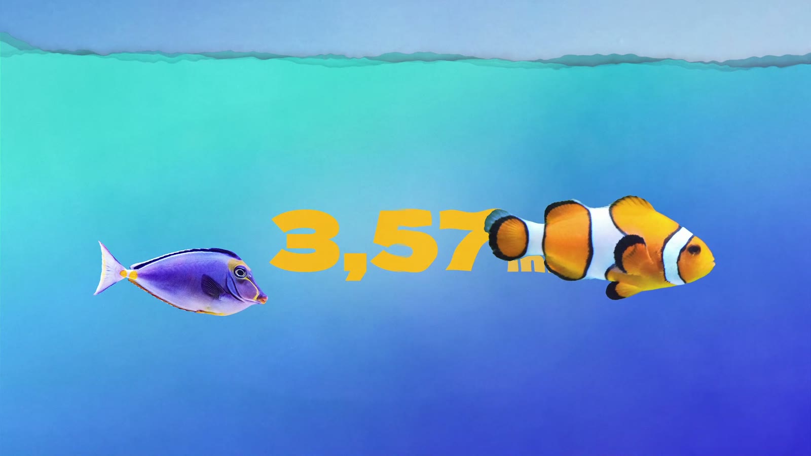
A few millimetres, seen from 1,336 km.
Sea level is rising by more than 3 mm a year. Explaining it means linking a tiny value to a very distant satellite.
02 — The mechanism
How it works, step by step.
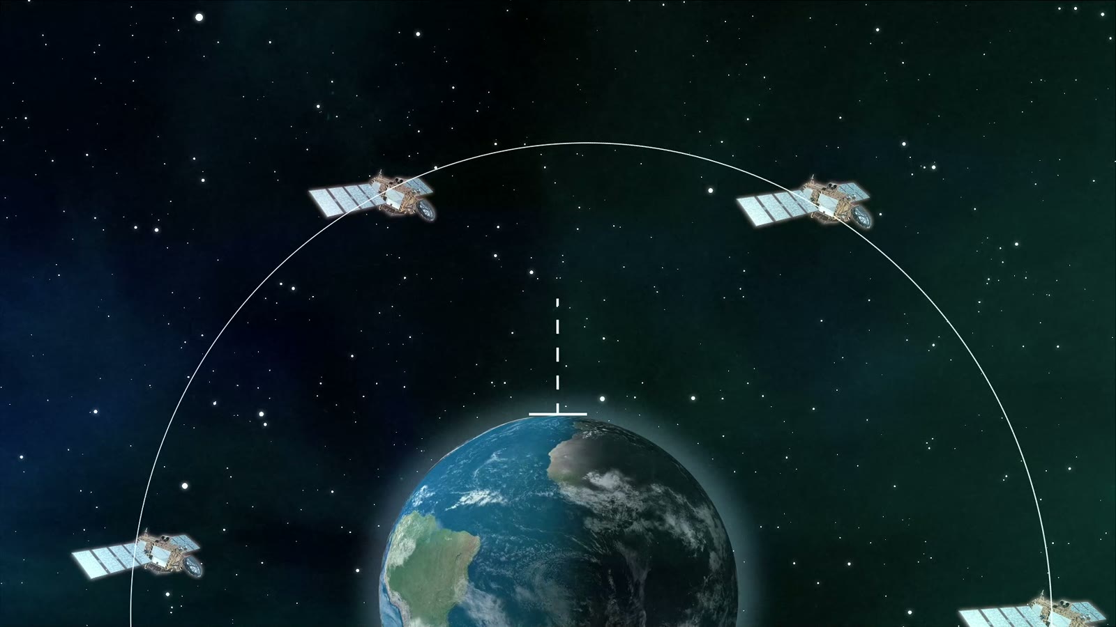
The satellite sends a radio wave towards the sea. Its round-trip time gives the distance, and so the height of the water.
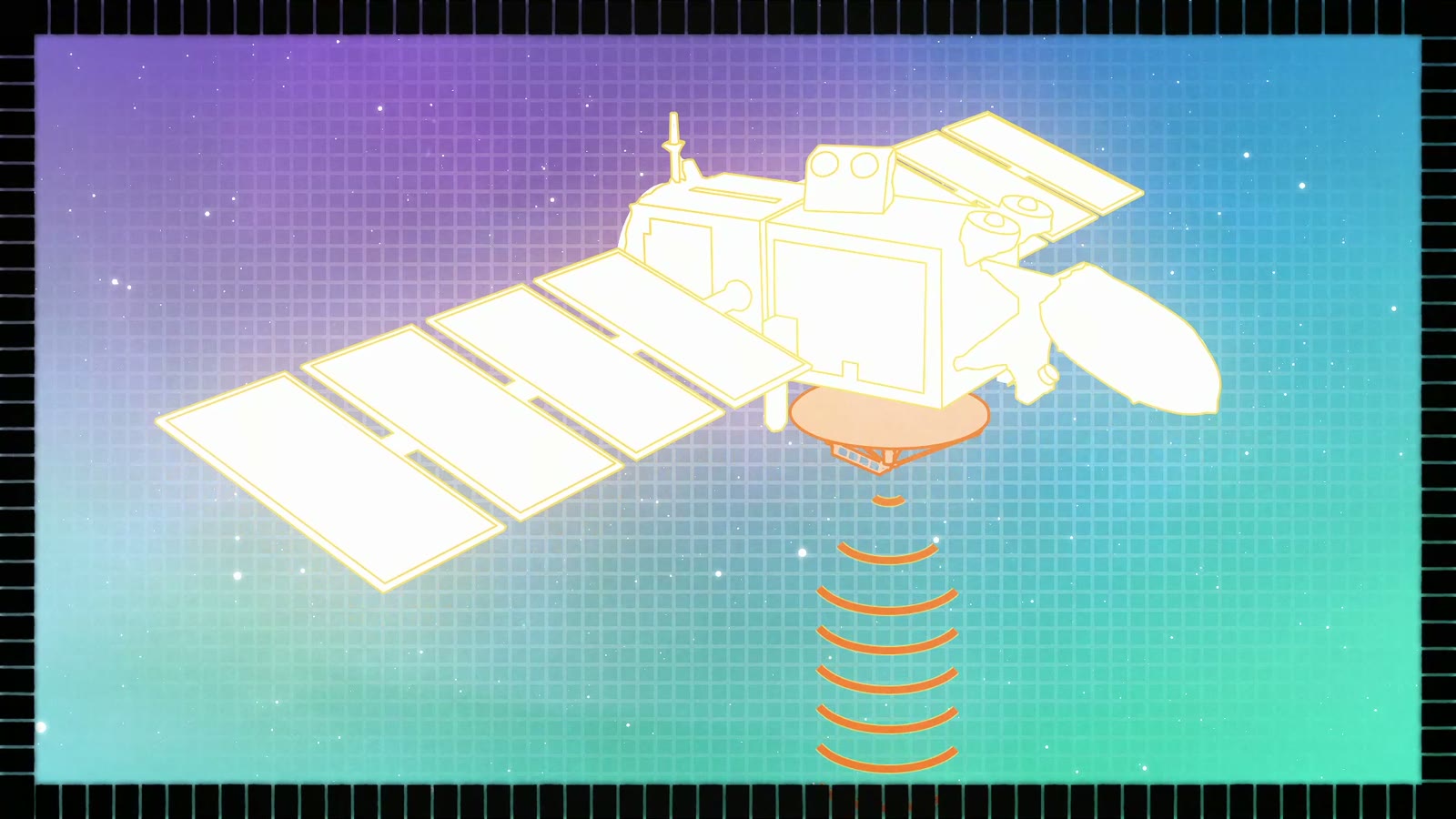
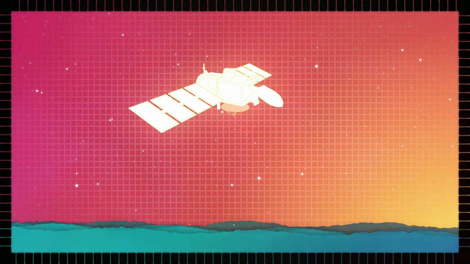
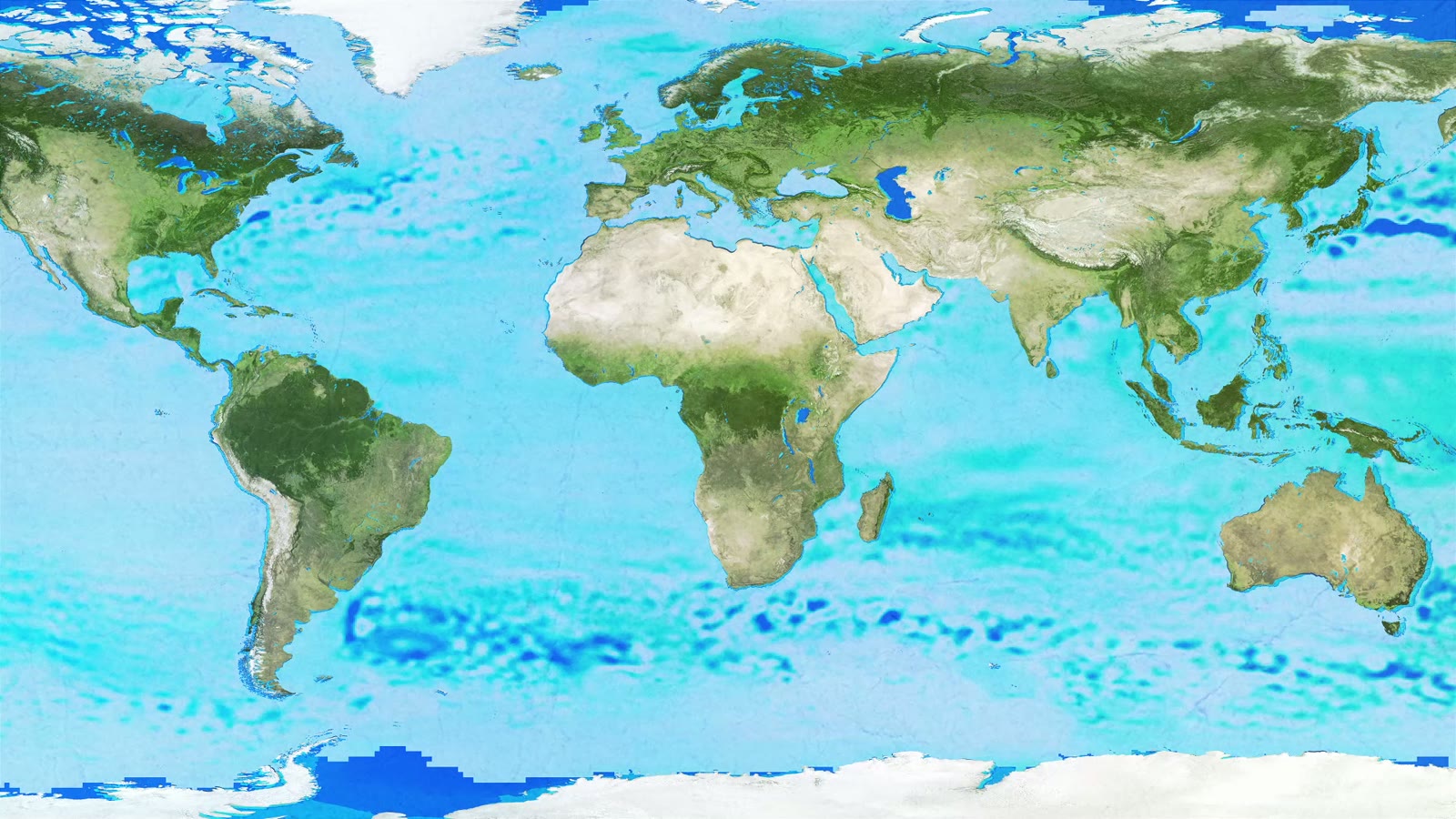
Making visible a measurement nobody can see.
03 — From storyboard to screen
From pencil to motion.
The storyboard drawn by SapienSapienS set the shots, the voice-over and the camera moves. I turned it into animation, shot by shot.
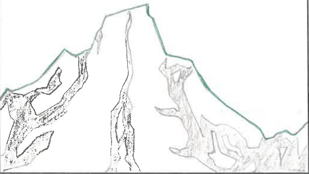
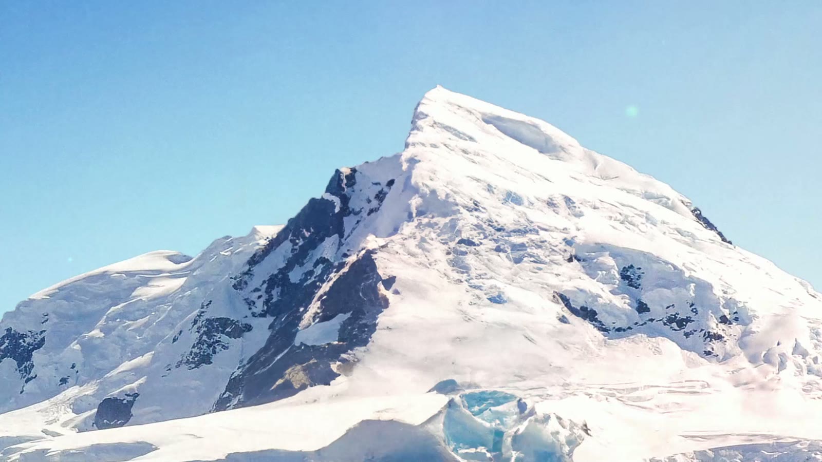
“Glaciers are melting…”
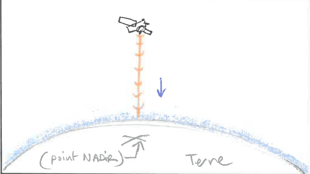
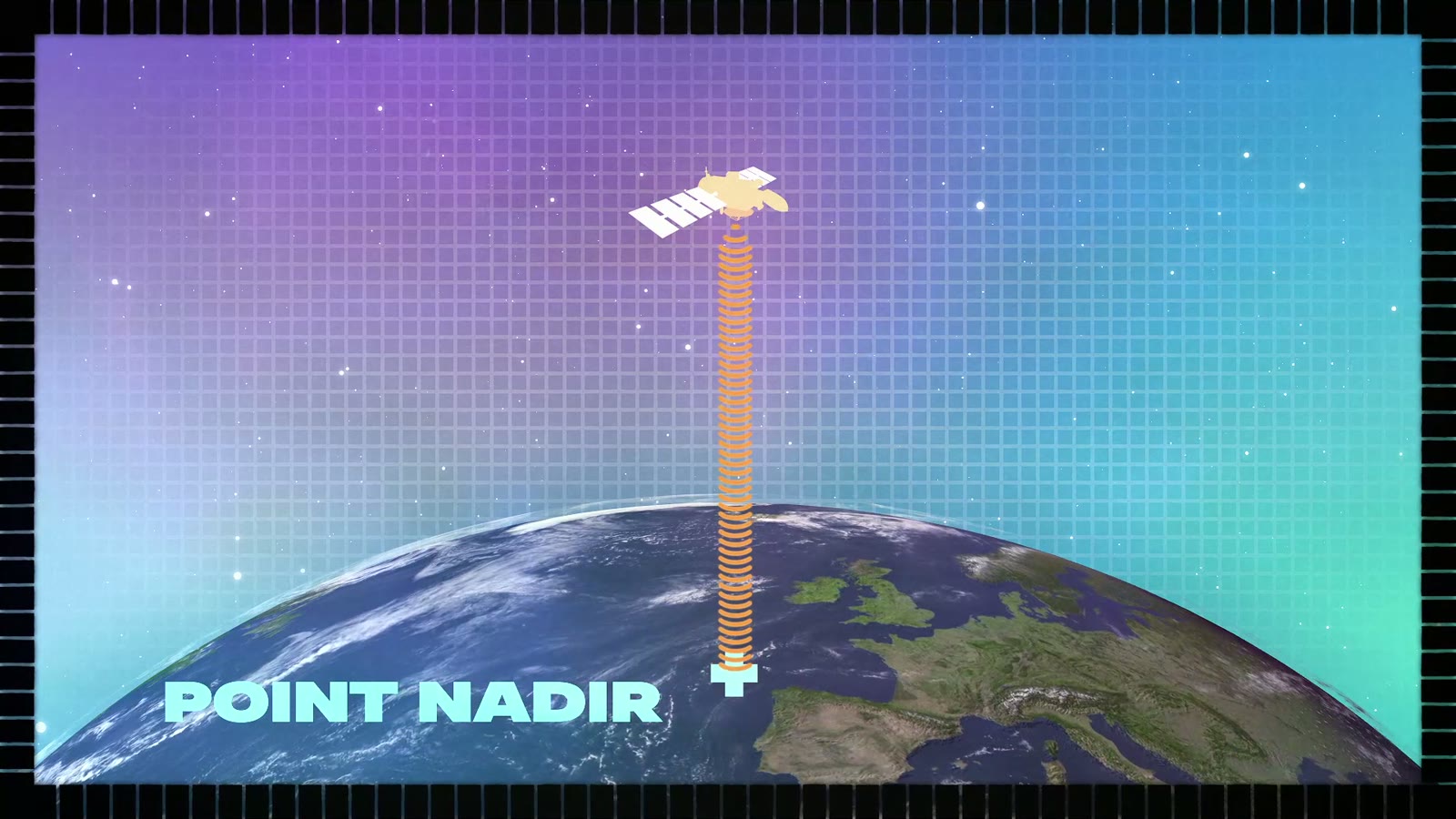
“…straight below the satellite.”
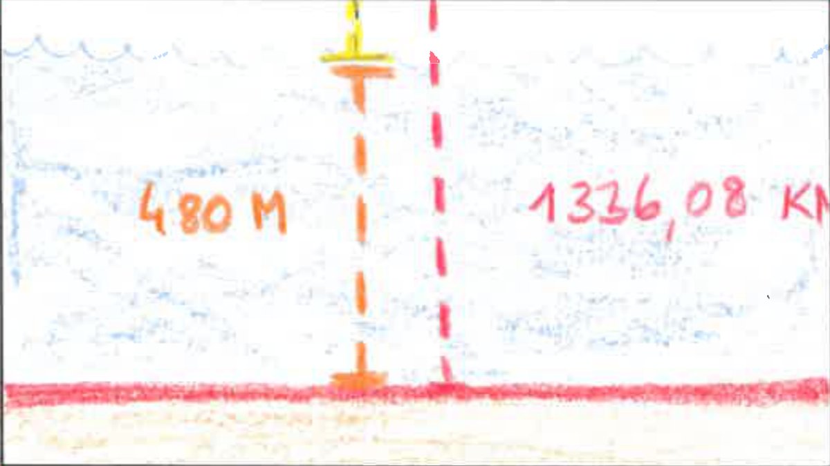
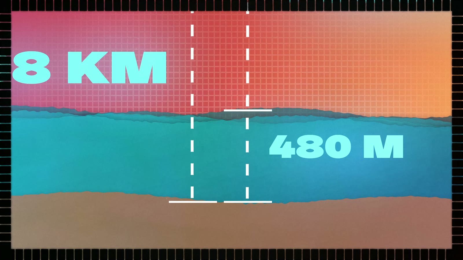
“So we know its height.”
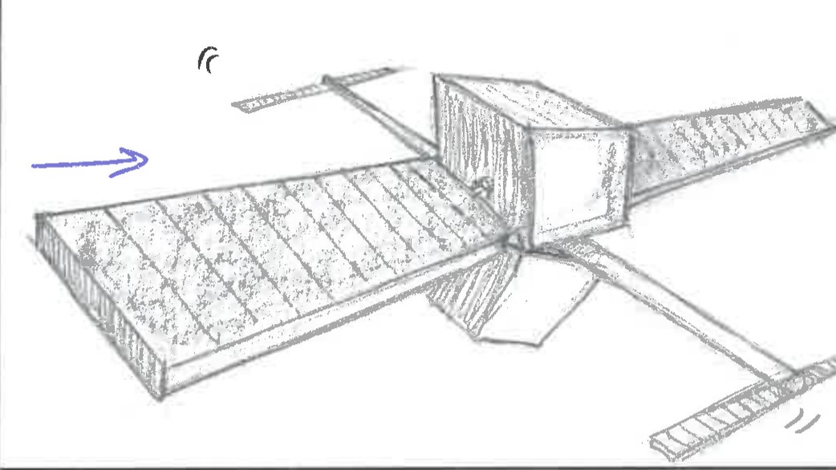
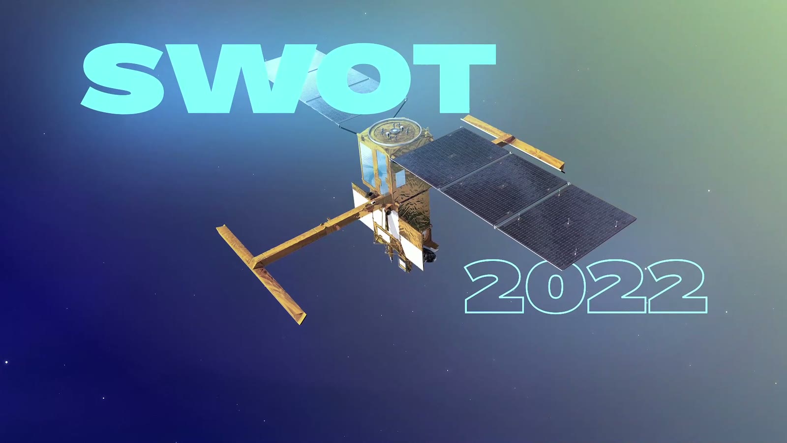
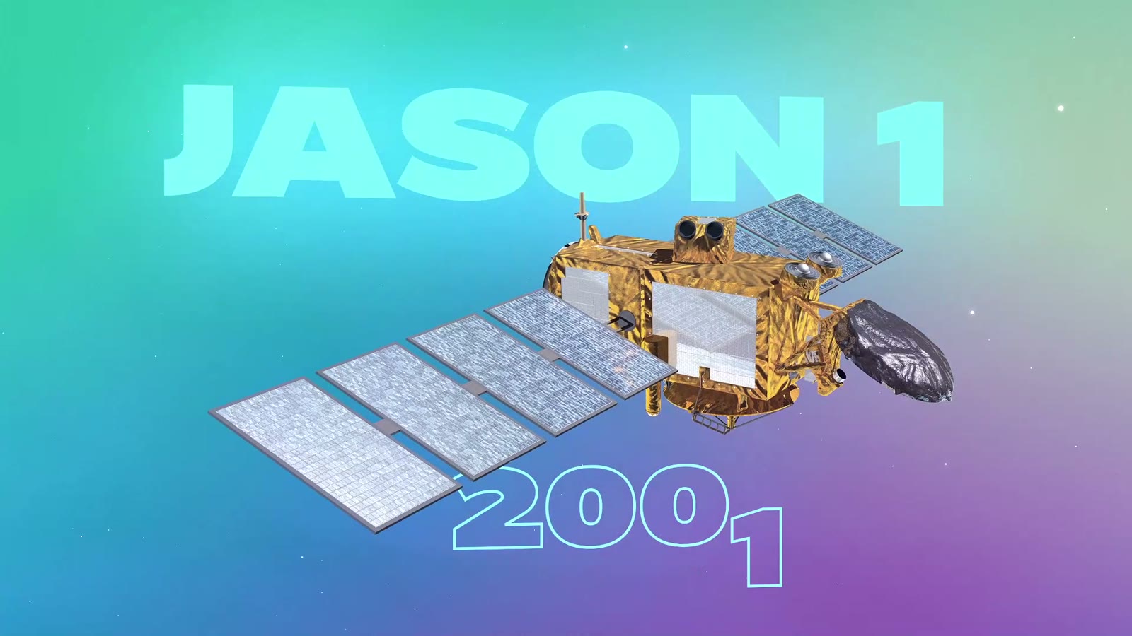
“A new generation of altimetry satellites…”
Approach
A technical subject, for the general public.
The episode speaks to everyone while keeping real altimetry concepts.
i.
Concrete references
Figures are staged in context, to be understood rather than read.
ii.
One idea at a time
Emission, travel, return, calculation: motion breaks the mechanism down.
iii.
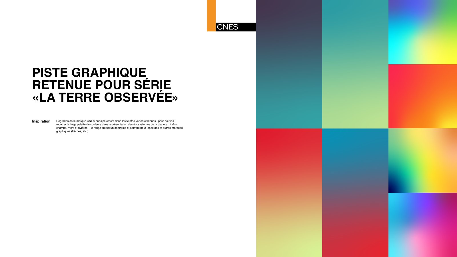
A colour code
Bold backgrounds separate the steps and guide the eye.
04 — With SapienSapienS
Working with a studio.
SapienSapienS, a production agency, designed the series for CNES: nine hybrid episodes mixing archive footage, motion design and on-location reporting. The studio owns the writing and the look, I bring the animation.
- 01
The script
Written by SapienSapienS with CNES: the voice-over text and the key figures.
- 02
The storyboard
26 drawn pages, with voice-over, camera moves and staging notes.
- 03
The visual identity
One graphic direction for the series: dense gradients, CNES typefaces, large letters in the background.
- 04
The animation
Satellites, radar waves, maps and figures brought to life within that frame, through to sign-off by the studio and CNES.